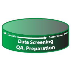
Terrain ServicesData Screening, QA, PreparationInconsistent, uncorrelated, or bad geospatial data will make or break mission rehearsal or simulation systems. 3D models which have flawed geometry or are not matched correctly to virtual/visual applications lack credibility and realism which promotes "negative training". Loyola has developed processes and spatial data applications that automate screening and Quality Assurance processes for Geospatial data. Our experienced 3D modelers can rapidly evaluate shared models from other agencies, and can immediately resource customer model requirements from our extensive model archives. Terrain Services
|
Contact us for pricing options and additional information:
(757) 498-6118 Ext - 101 |
|
| © Loyola Terrain Services 2018 | ||
A certified Service Disabled Veteran and Minority Owned Small Business.